API Reference
This section provides a detailed reference for the sargeom package, including its modules, classes, and functions.
sargeom
Classes
|
A Trajectory object represents a sequence of positions and orientations over time. |
Variables
Built-in mutable sequence. |
sargeom.coordinates
This module allows you to manipulate and transform terrestrial coordinates in the WGS84 geodetic system. By default, distances are expressed in meters and angles in degrees.
Functions
|
Converts angles to the range from -180 to 180 degrees. |
Classes
|
A Cartesian3 object represents the coordinates of a point or a vector in a 3D Cartesian coordinate system. |
|
A geocentric Earth-centered Earth-fixed (ECEF) system uses the Cartesian coordinates (X, Y, Z) to represent the 3D components of a position or a vector. |
|
A local East-North-Up (ENU) system uses the Cartesian coordinates (xEast, yNorth, zUp) to represent position relative to a local origin. |
|
A North-East-Down (NED) system uses the Cartesian coordinates (xNorth, yEast, zDown) to represent position relative to a local origin. |
|
A Cartographic object represents the position of a point in a geodetic coordinate system. |
|
Represents a reference ellipsoid of revolution for geodetic calculations. |
|
Lambert Conic Conformal projection class. |
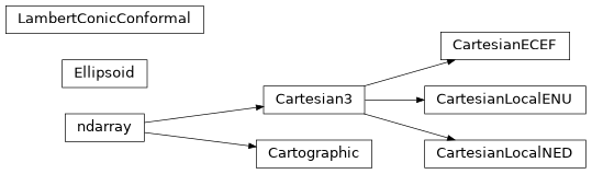
Class Inheritance Diagram